Medzianky castle
Medzianky Prešov county Slovakia
castle ruin
Medzianky
Medzianky Prešovský kraj Slovakia
zrúcanina hradu
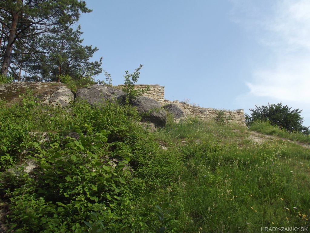
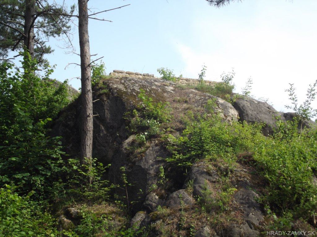
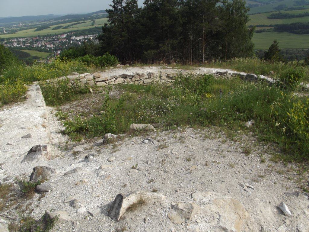
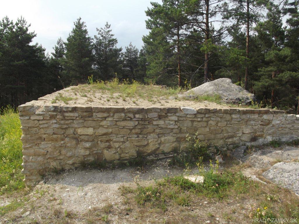
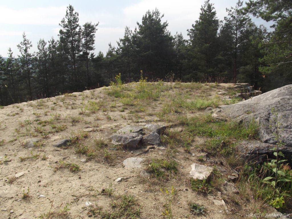
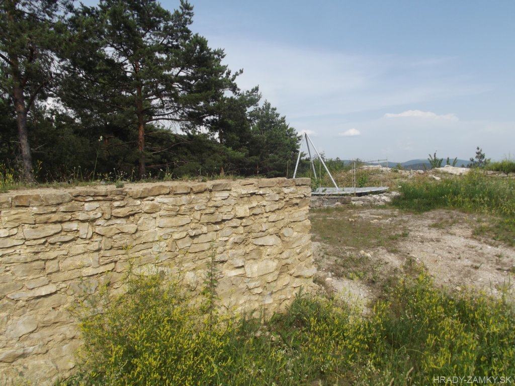
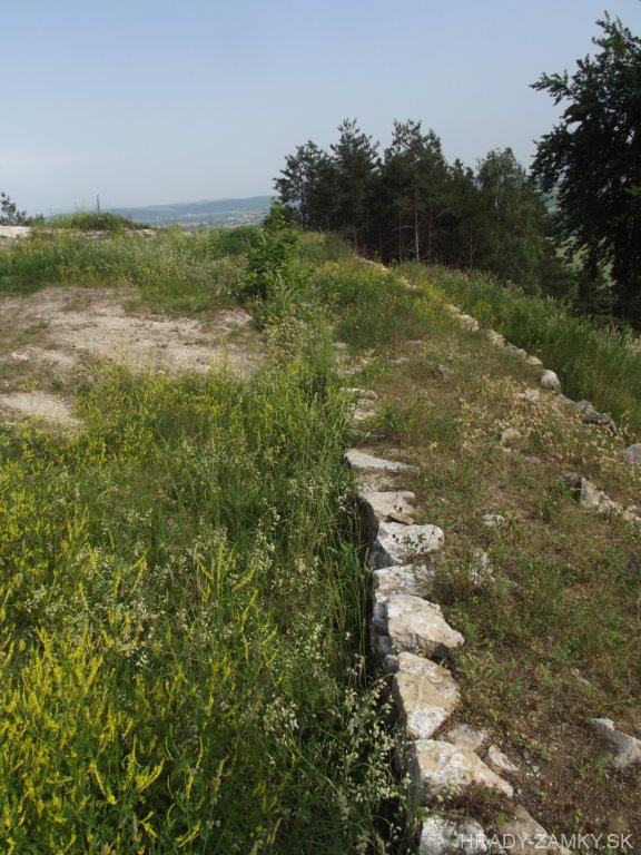
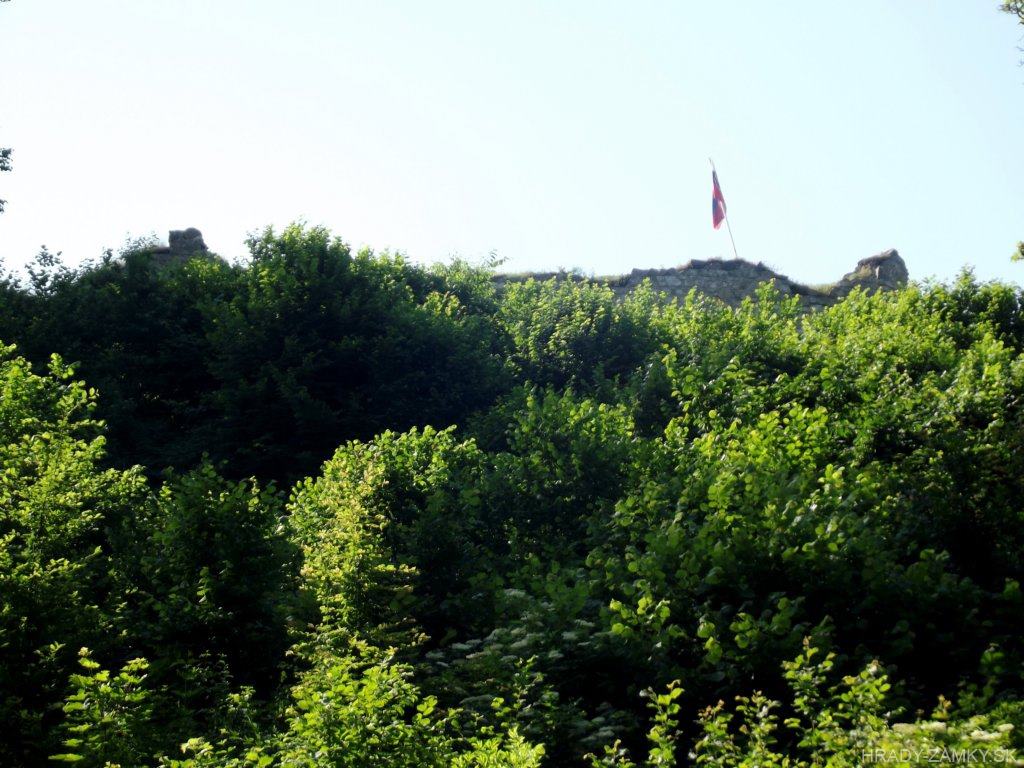
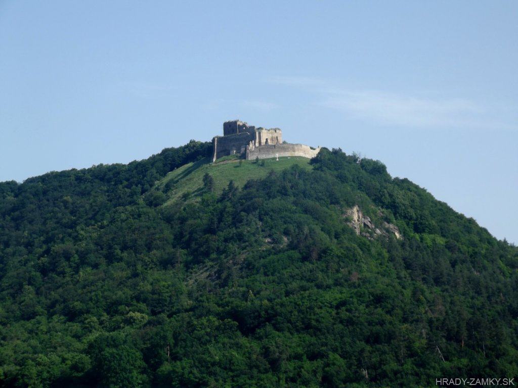
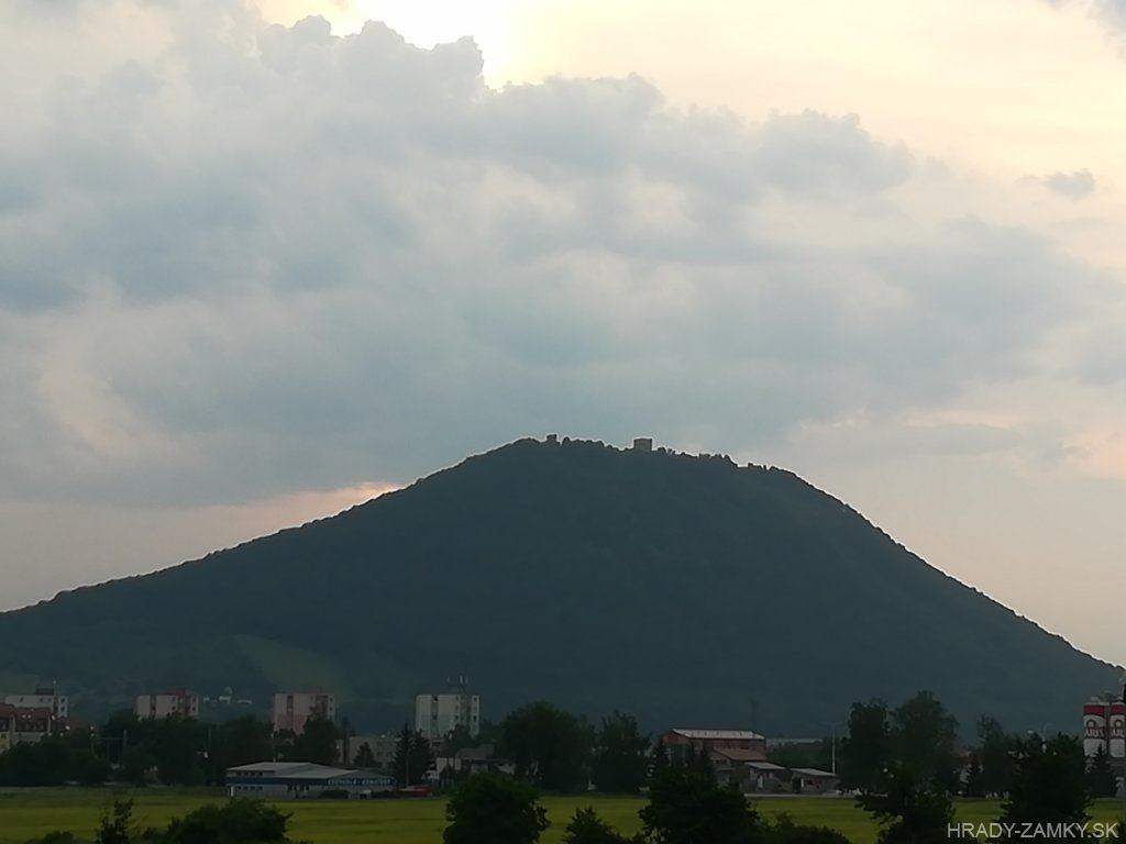
This small castle is located on a raised rock promontory - the position of Zámek about 1 km NE from the village Medzianky
Hrádok sa nachádza na vyvýšenom skalnom výbežku - poloha Zámek približne 1 km SV od obce Medzianky
Previous names
Medies, Megyes, Meges, Megeš, Medyes, Tapolymeggyes
Roads
Trasa 1: From the main road No. 18 leading from Prešov through Kapušany to Vranov nad Topľou, we turn left in front of Hanušovce, to the village of Medzianky, where along the street No. 3602 next to the Municipal Office we get to the end of the village, to the intersection of the street 3602 and Bukovská street.We can park the car near the mentioned crossroads and walk on a gentle climb along a winding stony path to the castle. We will see Medzianky castle on the right on a smaller ridge.
Trasa 1: Z hlavnej cesty č.18 vedúcej od Prešova cez Kapušany až do Vranova nad Topľou odbočíme pred Hanušovcami vľavo, do obce Medzianky, kde sa po ulici č.3602 popri Obecnom úrade dostaneme až na koniec obce, na križovatku ulice 3602 a Bukovskej ulice.Blízko spomínanej križovatky môžeme odstaviť auto a peši sa vydáme miernym stúpaním kľukatou kamenistou cestou až k hrádku. Hrádok Medzianky uvidíme vpravo na menšej vyvýšenine.
Trasa 2: The whole route to the castle can be completed also by a regular car, which we park right on the road next to the castle. However, the path consists of larger sharp stones, unevenness and holes, in addition, count on the descent on the way back. If you do not own an off-road vehicle, this is a matter for consideration, but it is better to walk along the route.
Trasa 2: Celá trasa až k hrádku sa dá absolvovať aj bežným autom, ktoré zaparkujeme tesne popri ceste vedľa hrádku. Cesta sa však skladá z väčších ostrých kameňov, nerovností a dier, navyše cestou späť počítajte s klesaním. Ak nevlastníte terénne vozidlo, je to na zváženie, lepšie je však v tom prípade absolvovať trasu peši.
Description
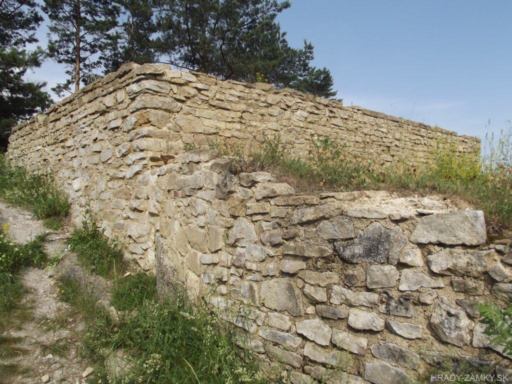
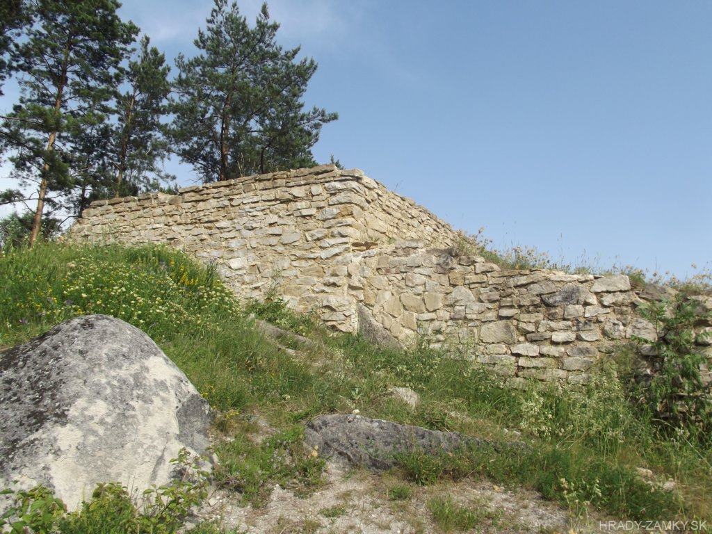
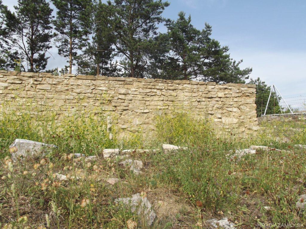
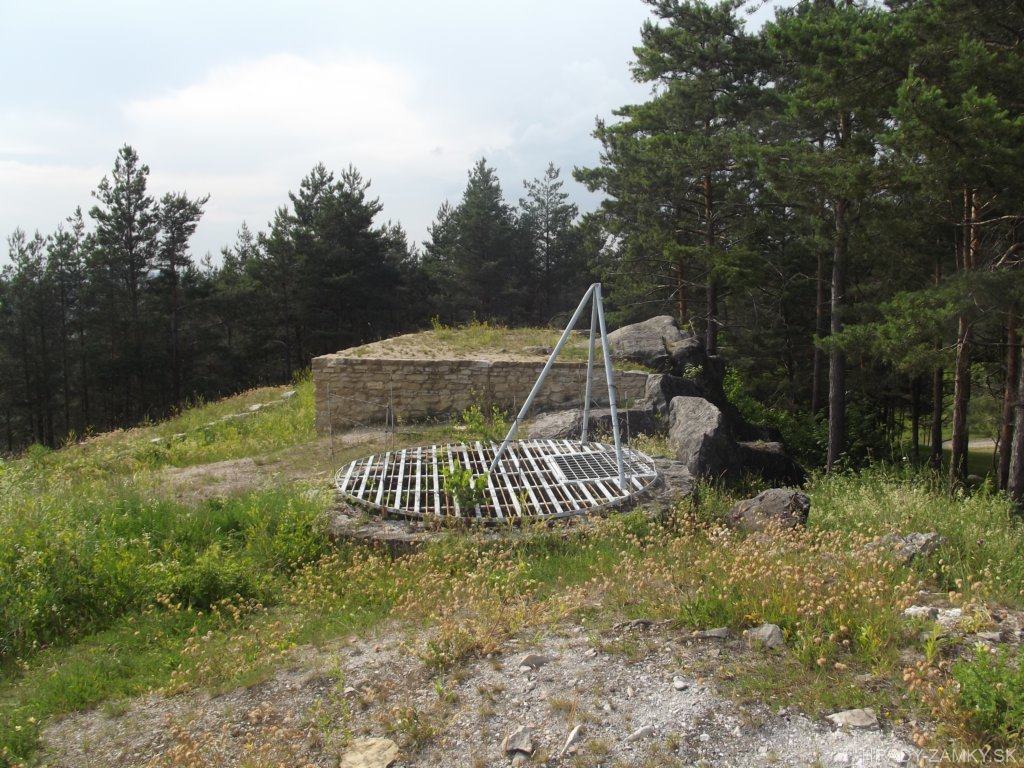
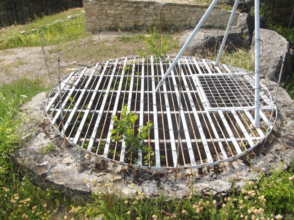
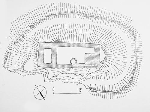
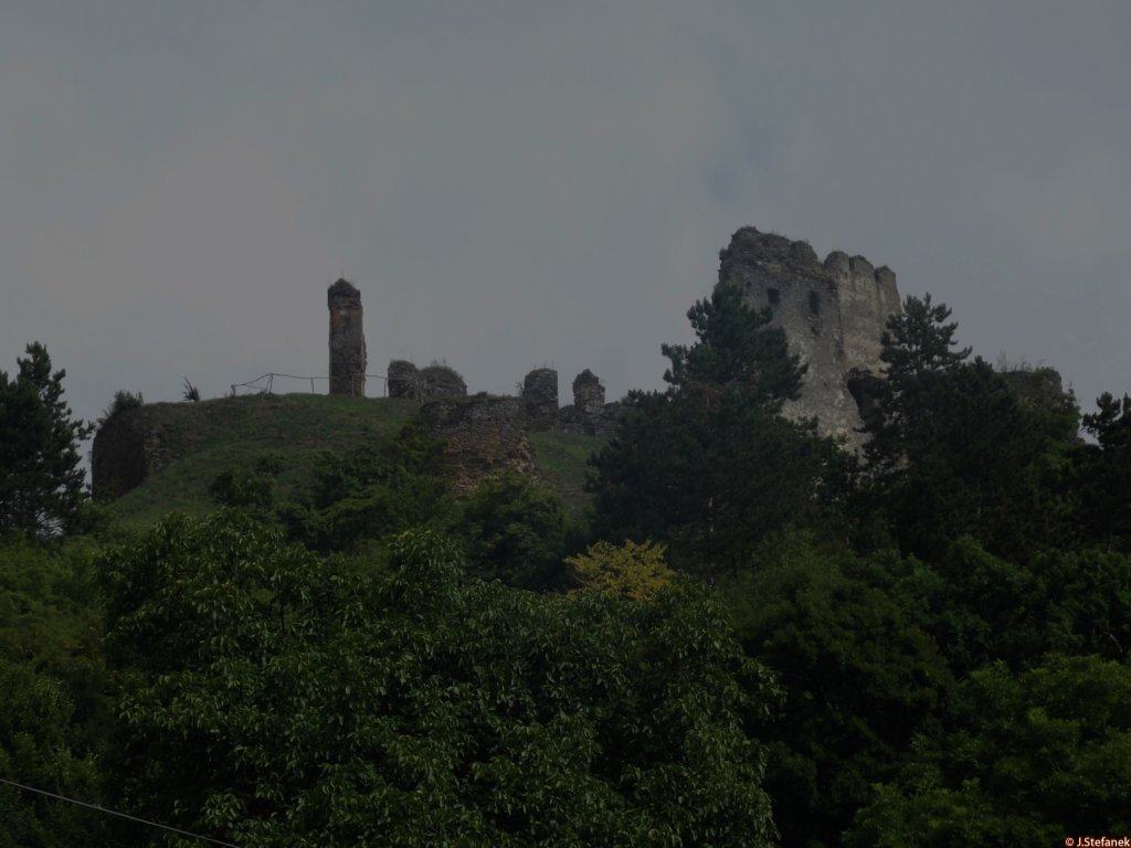
The castle building consisted of a regular rectangular floor plan and was lined with a thick wall from 2 to 2.7 meters. The rampart with an adjacent ditch was connected on the northern side to the rock cliff. In the southeast, the ditch was stuck in a rock gorge and so the material for building the castle was obtained. On its southeast side was a stone residential tower with a thick wall. The ground floor was accessible by a small portal from the courtyard, where a 6 m deep tank was excavated. The northern tower was not a kind of bergfrit, but as the underpass passed through the ground floor, it was more like a gate tower.The castle had no ward and although it was small in size, it fulfills the idea of a guard and control point in a strategic position. The foundations of this castle were archaeologically uncovered in the 1980s.
Objekt hrádku tvoril pravidelný obdĺžnikový pôdorys a lemovala ho mocná hradba hrubá 2 až 2,7m. Valové opevnenie s priľahlou priekopou sa napájalo na severnej strane k skalnému zrázu. V juhovýchodnej časti bola priekopa zasekaná do skalnej strže a tak sa získal aj materiál na stavbu objektu. Na jeho juhovýchodnej strane bola kamenná obytná veža s hrubým múrom. Prízemie bolo prístupné malým portálom z nádvoria, v ktorom bola vyhĺbená 6m hlboká cisterna. Severná veža nemala podobu bergfritu, ale keďže prízemím prechádzal podjazd, išlo o bránovú vežu.Hrad nemal predhradie a hoci bol rozmermi neveľký, spĺňa predstavu o pevnom strážnom a kontrolnom bode v strategickej polohe. Základy tohto hrádku boli archeologicky odkryté v 80-tych rokoch 20.storočia.
Plan
-
History
Although archaeological research was carried out on the site of the castle in the 1980s and the floor plan of the castle was uncovered, even on the basis of numerous material finds, it is not possible to determine the exact builder of the castle. However, it is assumed that the castle was built by the Johannites, who in 1210 received the territory of Medzianky. However, it is certain to date the origin of the castle, which existed before the middle of the 13th century. The greatest prosperity of the castle dates back to the last third of the 13th century.
The original St. John's in the castle was replaced by the Crusaders of St. Grave. The Crusaders were forced to abandon their property in 1313, because after the battle of Rozhanovce (1312) between King Charles and the Omodej family, the master magician Kokoš became the owner of the kings' property. From 1319, the castle belonged to the nobleman Ján.
From 1332, Demeter from the Abov family was the landowner and owner of the castle, who contributed to the development of Hanušovice, but archaeological research did not confirm any reconstruction of the castle at that time. Later, the castle was owned by the Soos family from Solivar and in the 15th century it was also the seat of the brothers' movement. They left it in 1460 due to lack of space and probably built a fortress, called Zadná hura, above today's Chmeľov. The castle then fell into disrepair as a result of internal political struggles and eventually disappeared.
Hoci sa v 80.rokoch 20.storočia vykonal na mieste hradu archeologický výskum a odkryl sa pôdorys hradu, ani na základe početných hmotných nálezov nemožno presne určiť stavebníka hradu. Predpokladá sa však, že hrad dali postaviť johaniti, ktorí v r.1210 dostali územie Medzianok. Isté je však datovanie vzniku hradu, ktorý existoval už pred polovicou 13.storočia. Najväčší rozkvet hradu spadá do poslednej tretiny 13. storočia.
Pôvodných johanitov na hrade vystriedali križovníci sv. Hrobu. Križovníci boli nútení opustiť v roku 1313 svoj majetok, pretože po bitke pri Rozhanovciach (1312) medzi kráľom Karolom a Omodejovcami sa stal vlastníkom majetku kráľov prívrženec magister Kokoš. Hrad od roku 1319 pripadol šľachticovi Jánovi.
Od roku 1332 bol zemepánom a majiteľom hradu Demeter z rodu Abovcov, ktorí sa zaslúžili o rozvoj Hanušoviec, archeologický výskum však nepotvrdil v tomto čase žiadnu prestavbu hradu. Neskôr hrad vlastnili Soósovci zo Solivaru a v 15. storočí bol sídlom aj hnutia bratríkov. Tí ho v roku 1460 kvôli nedostatku priestoru opustili a pravdepodobne vybudovali pevnôstku, nazývanú Zadná hura, nad dnešným Chmeľovom. Hrad potom aj v dôsledku vnútropolitických bojov chátral a nakoniec zanikol.
Myths and legends
There are no myths available.
K tomuto objektu nie sú dostupné žiadne povesti
Useful information
The ruin is freely accessible.
Zrúcanina je voľne prístupná.
Nearby castles
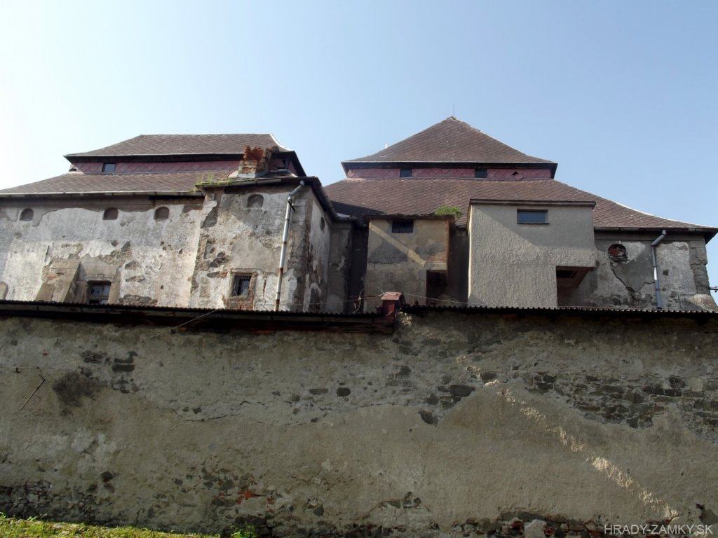
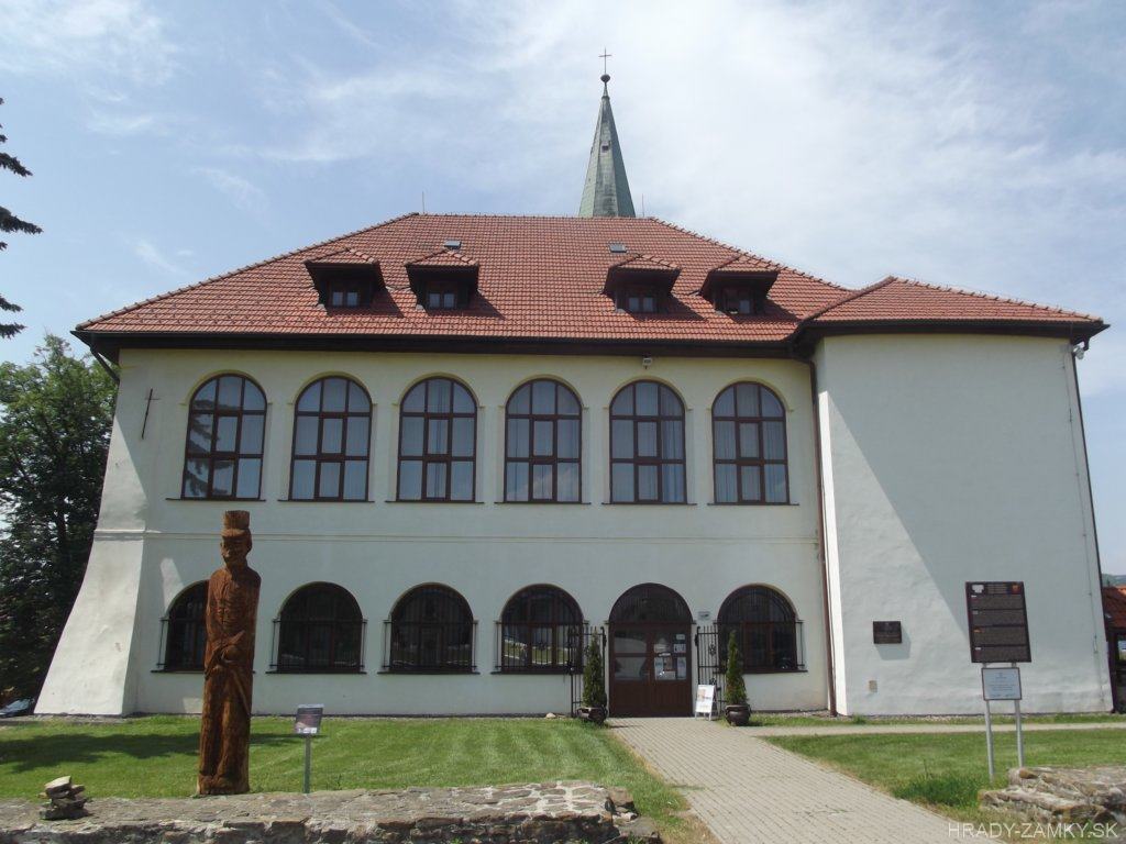
Chmeľov mansion
Chmeľov
4.7km
manor, mansion
Šebeš castle
Podhradík
10.3km
castle ruin
Kapušany castle
Kapušany
12.1km
castle ruin
Nižná Šebastová mansion
Nižná Šebastová
15.1km
manor, mansion
Stropkov mansion
Stropkov
21.8km
manor, mansion
Šariš castle
Veľký Šariš
22.6km
castle ruin
Čičva (Čičava)
Sedliská
23.1km
castle ruin