Sobôtka
Rimavská Sobota Banská Bystrica county Slovakia
fortress
Sobôtka
Rimavská Sobota Banskobystrický kraj Slovakia
pevnosť
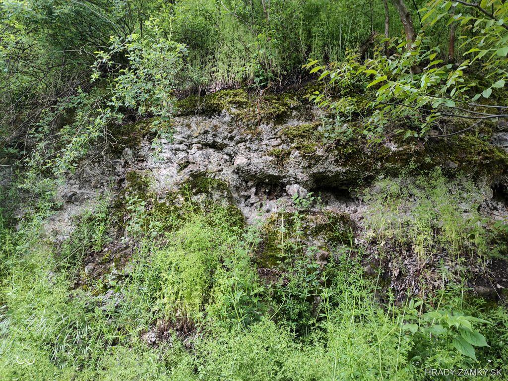
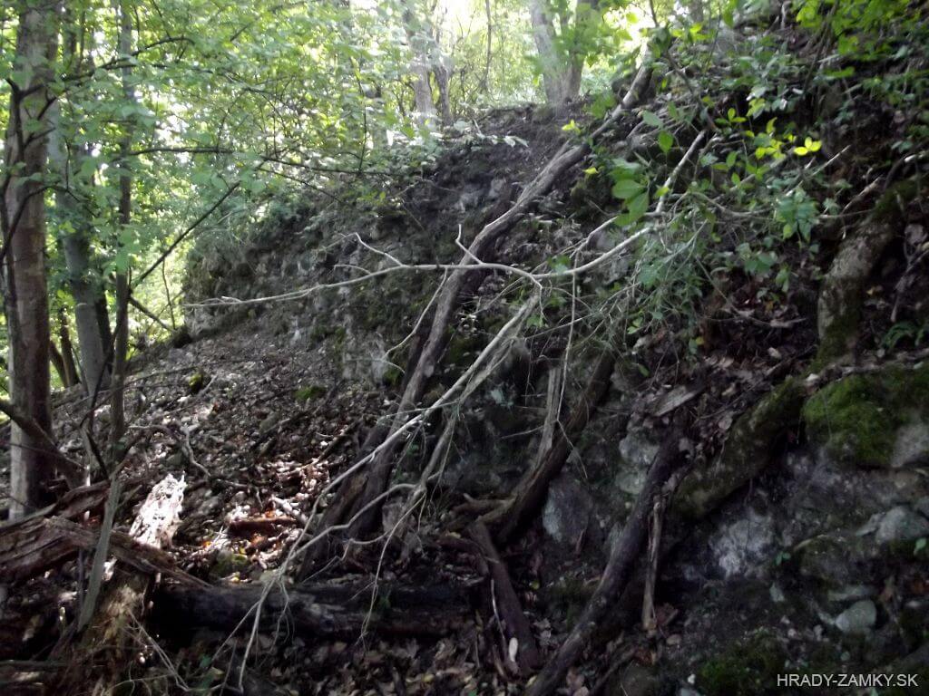
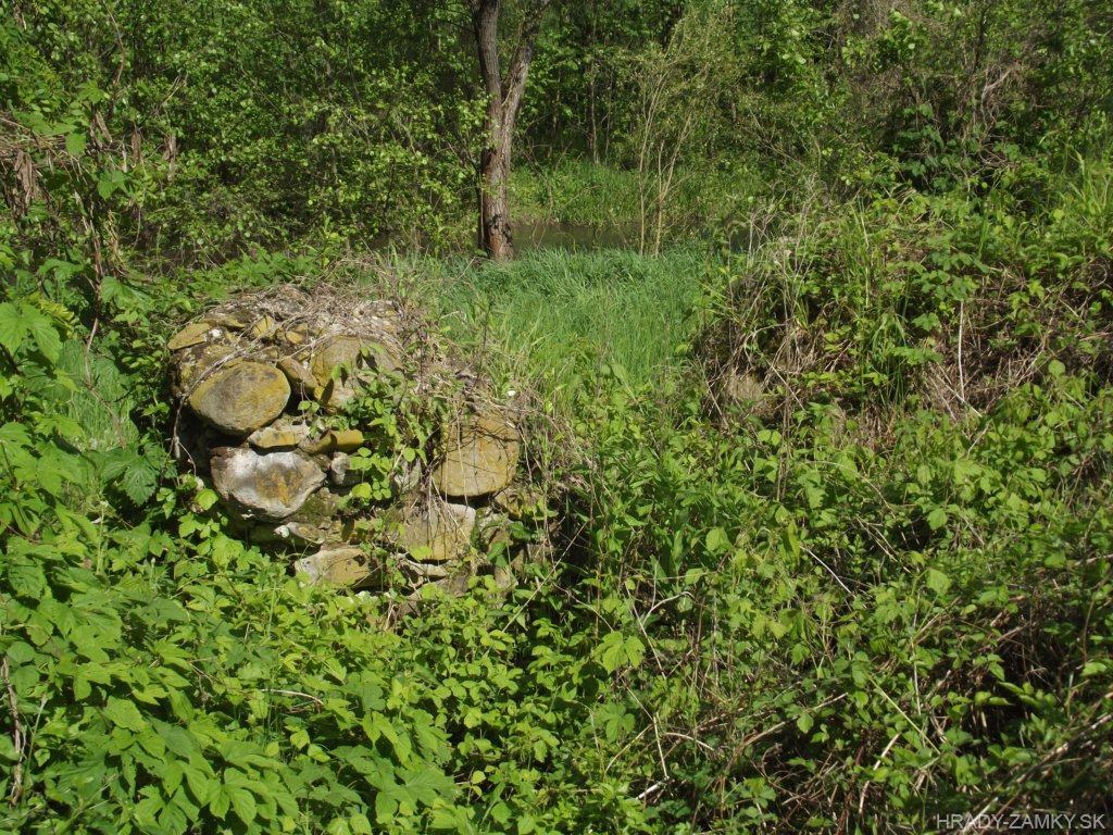
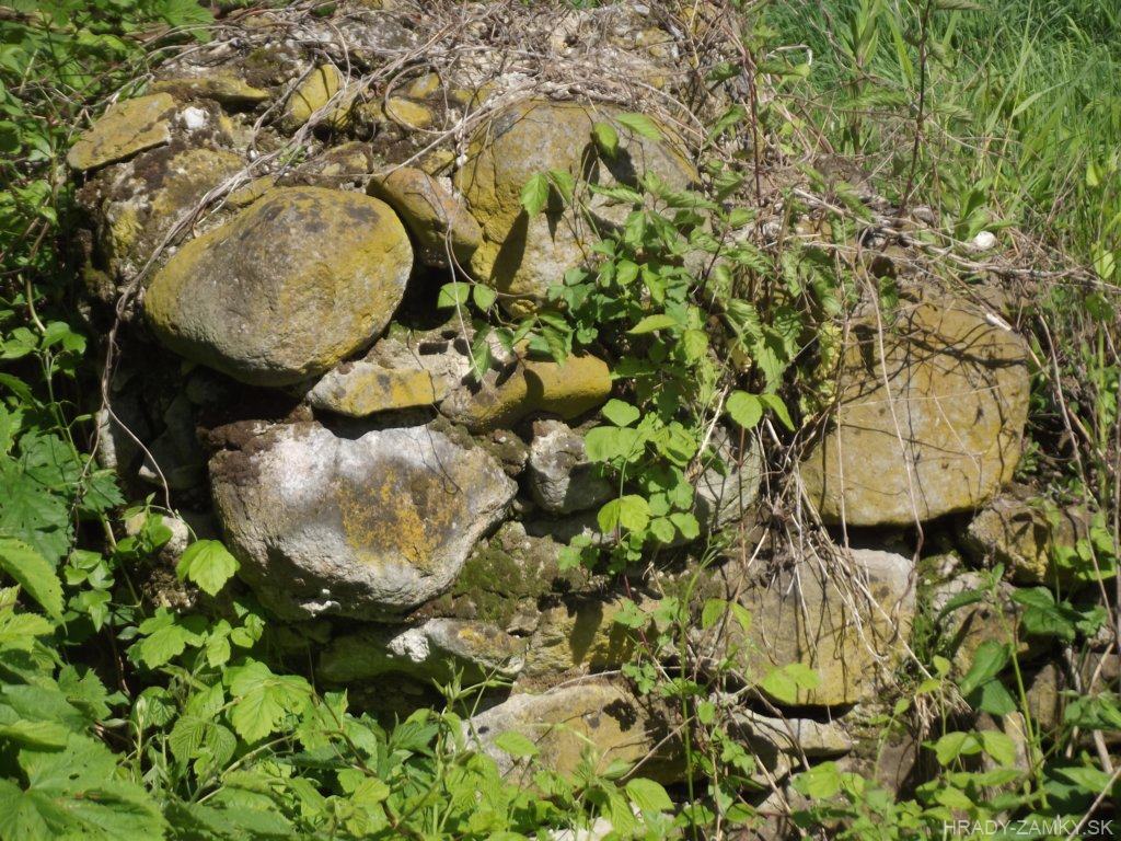
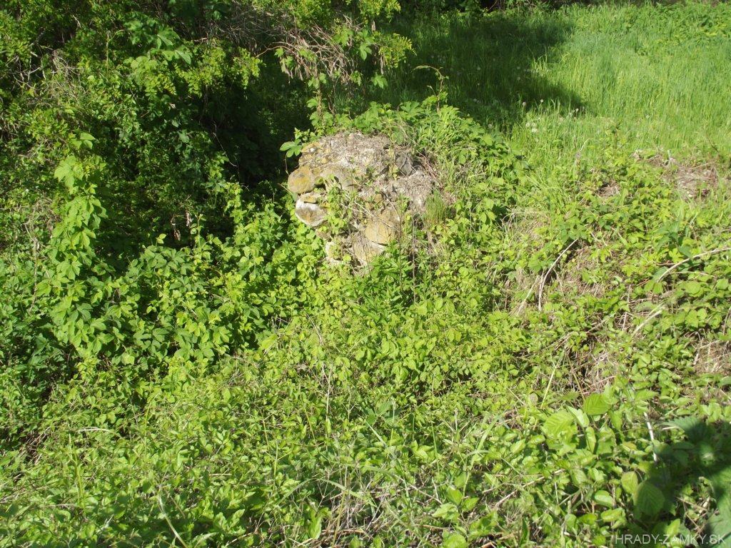
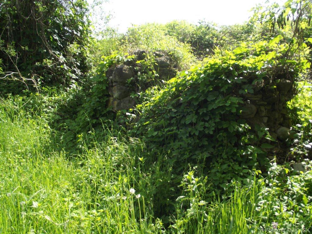
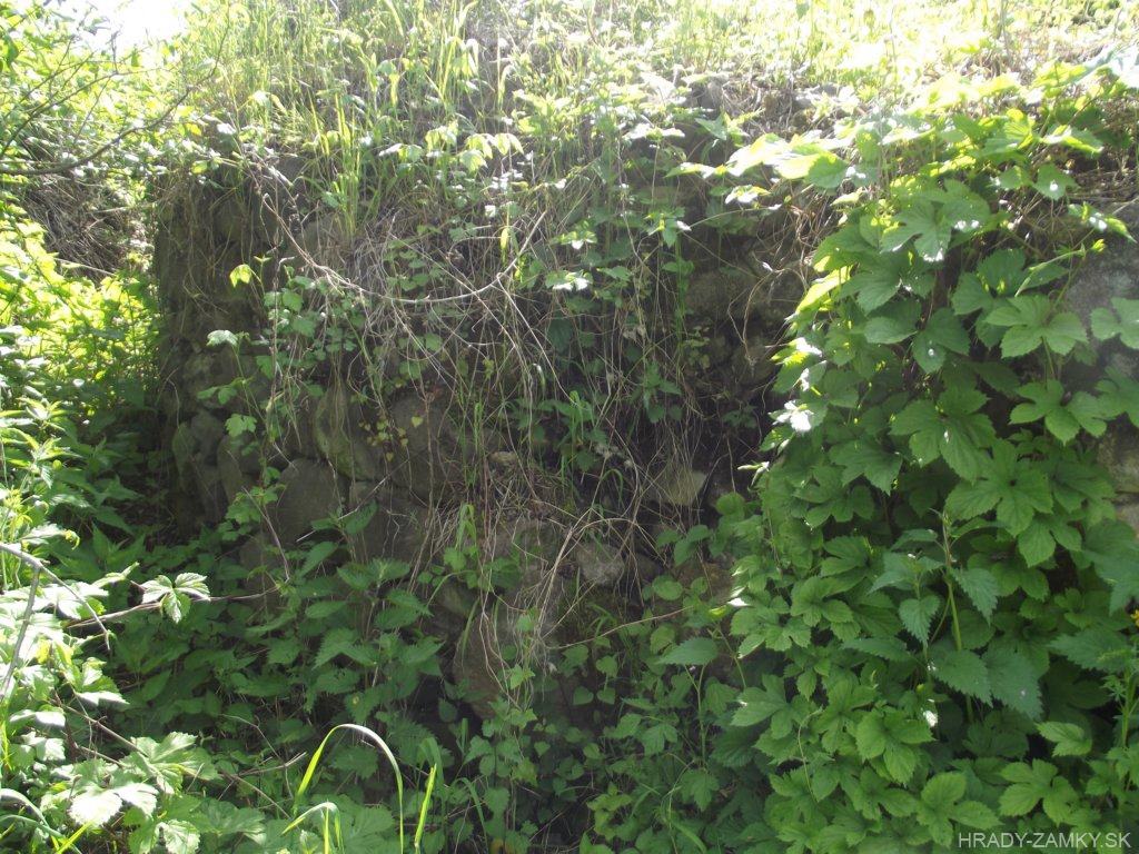
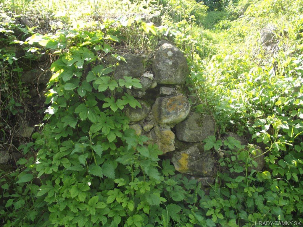
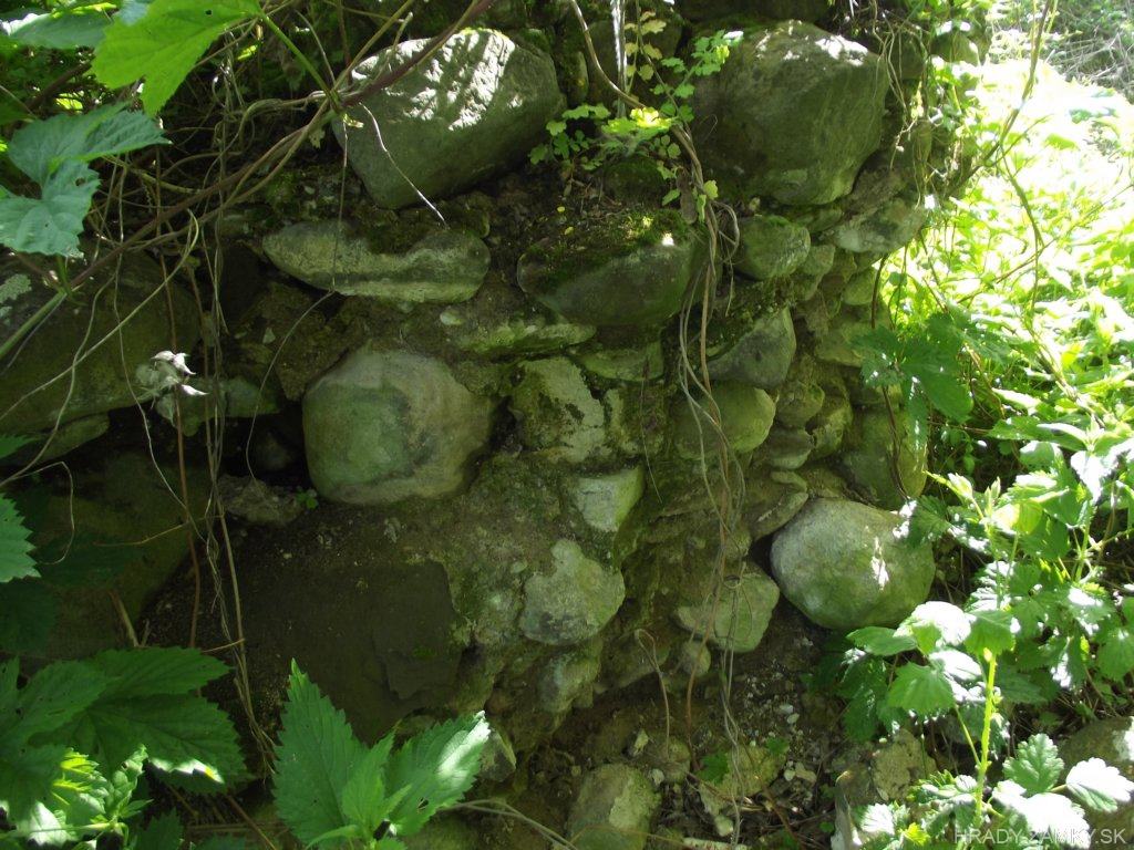
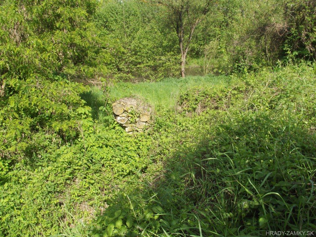
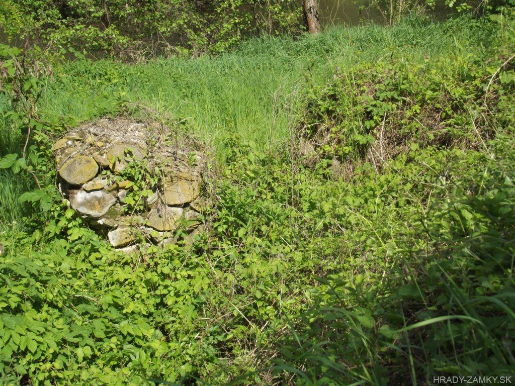
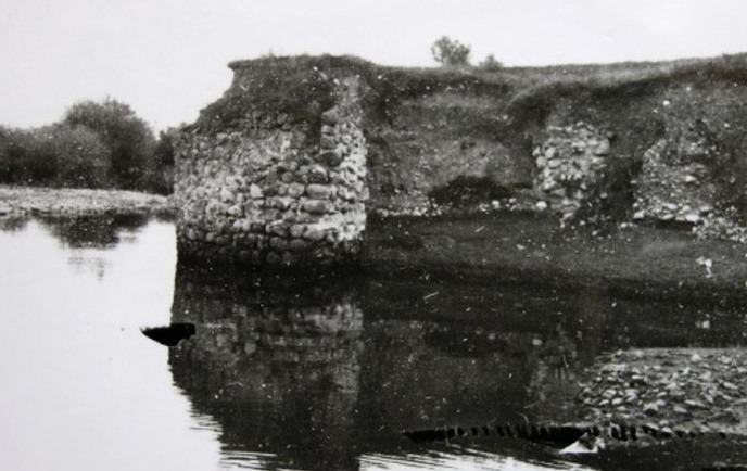
Slight remnants of the northernmost Turkish water fortress lie in the basin of Rimavská basin, on the right bank of Rimava river, in Rimavská Sobota
Nepatrné zvyšky najsevernejšej tureckej vodnej pevnosti ležia v Rimavskej kotline, na pravom brehu Rimavy, v Rimavskej Sobote.
Previous names
Sabathga, Sabatz, Szabadkapuszta, Törökvár
Roads
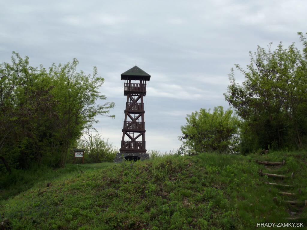
Košická cesta leads through Rimavská Sobota, from which we turn to road no.72 to the city part of Sobotka. On the right side of the road is a large field, continue along the road to the end of this field, where the forest begins. It is just next to some company on the right. There's a smaller place to park the car. From there, we take a short walk back to where the field ends and move along the edge almost to the Rimava River. The small remains of Sobôtka fort are located a few meters to the left of the river. At the time of our visit, the terrain was considerably overgrown, so be careful.The fortress can also be reached from the bridge across the river, if we continue along road No.72 and turn right at the nearest turn and from the bridge walk along the river to the aforementioned place. However, this path is longer and more complicated due to the vegetations.
Cez Rimavskú Sobotu vedie Košická cesta, z ktorej odbočíme na cestu č.72 na mestskú časť Sobôtka. Po pravej strane cesty sa nachádza rozsiahle pole, pokračujeme po ceste ďalej, až po koniec tohto poľa, kde začína porast. Je to kúsok pred areálom firmy na pravej strane. Je tu menšie miesto na parkovanie. Odtiaľto sa vyberieme pešo kúsok späť až tam, kde končí pole a po jeho okraji sa presunieme takmer až k rieke Rimava. Zvyšky pevnosti Sobôtka sa nachádzajú pár metrov vľavo bezprostredne pri rieke. V čase našej návštevy bol terén značne zarastený, takže treba byť opatrný.K objektu sa dá dostať aj od mosta cez rieku, ak budeme pokračovať po ceste č.72 a odbočime vpravo pri najbližšej odbočke a od mosta pešo popri rieke až k spomínanému miestu. Táto cesta je však dlhšia a kvôli porastom komplikovanejšia.
Description
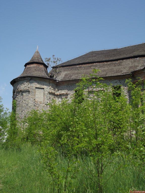
It was the northernmost Turkish fort from the time of the Ottoman Empire. In its center, the tower was protected by four corner bastions and around the inner and outer castle flowed Rimava. There were stables, barracks, mosque, well and other residential and farm buildings.At present, the ruins are neglected, overgrown with vegetation.
Ide o najsevernejšie položenú tureckú pevnosť z čias Osmanskej ríše. V jeho strede bola veža chránená štyrmi nárožnými baštami a okolo vnútorného a vonkajšieho hradu obtekala Rimava. Boli tu stajne, kasárne, mešita, studňa a ďalšie obytné a hospodárske stavby.V súčasnosti sú ruiny v zanedbanom stave, zarastené vegetáciou.
History
The original Hussite fortified settlement on the right bank of the Rimava River, which was built by the Kališniks on the instructions of the Czech captain Ján Jiskra of Brandýs, was conquered in 1460 by King Matej's army and subsequently demolished. In 1555, the Mehlik of Fiľak had a new water fortress built on these ruins, one of the northernmost Turkish fortresses in Europe at all, as Rimavská Sobota and its surroundings became the northernmost place in the 16th century, reaching the Ottoman Empire. The Rimava River formed its natural moat.
Slaves from the surrounding area took part in the construction. The fence was built in the traditional way, similarly to other newly established fortresses at the time of the Turkish yoke, it was made of wooden wheels, which were sealed with crushed clay. Behind the walls of the fortress stood a tower protected by four corner bastions, there were also barracks, a mosque, a well, stables and other residential and farm buildings. For the period, it is one of the typical fortifications. It is rumored that the fortress also served as a treasury, probably the surrounding villages brought money, taxes, which the Turks levied on them in money and in kind, so as not to plunder their residences. They also established the seat of the administrative district here - the náhija.
The Turks built the so-called Turkish bridge so that the Turkish beg can comfortably transport the girls to the harem near Nižná Pokoradz. In 1593 and 1594, bloody battles were fought for the fortress. On November 9, 1593, the imperial army under the command of Košice's chief captain Krištof Tieffenbach and Humenan peasant Štefan Drugeth reoccupied the fortress and expelled the Turks from Sobotka. However, according to the last written report from 1609, Sobotka was again controlled by the Turks. After the end of the Turkish fighting, however, the fortress lost its significance and began to fall into disrepair.
In the past, two partial archaeological excavations were carried out on the building. In 1968, the first research was carried out by Zoltán Drenko, and a decade later the second research was carried out by István Kovács. However, the fortress has not yet been comprehensively discovered and examined, so it is still not clear exactly what it looked like. In 2010, the civic association Fundament initiated the project Let's save and revive the Turkish castle.
Pôvodné husitské hradisko na pravom brehu rieky Rimava, ktoré na pokyn českého hajtmana Jána Jiskru z Brandýsa postavili kališníci, dobylo v roku 1460 vojsko kráľa Mateja a následne objekt zbúrali. Na týchto ruinách nechal v roku 1555 fiľakovský beg Mehmed postaviť novú vodnú pevnosť, jednu z najsevernejších tureckých pevností v Európe vôbec, keďže Rimavská Sobota a okolie sa v 16. storočí stala najsevernejším miestom, kam siahala Osmanská ríša. Rieka Rimava tvorila jeho prirodzenú vodnú priekopu.
Na stavbe sa podieľali nevoľníci z blízkeho okolia. Ohradu stavali tradičným spôsobom, podobne ako pri ostatných nanovo zriadených pevností v čase tureckého jarma, bola z drevených kolov, ktoré utesnili utlčenou hlinou. Za múrmi pevnosti stála veža chránená štyrmi nárožnými baštami, boli tu aj kasárne, mešita, studňa, stajne i ďalšie obytné a hospodárske budovy. Pre dané obdobie ide o jedno z typických fortifikačných opevnení. Povráva sa, že pevnosť slúžila aj ako pokladnica, pravdepodobne sem privážali okolité obce peniaze, dane, ktoré im Turci vyrúbili v peniazoch a naturáliách, aby ich sídla nevydrancovali. Zriadili tu aj sídlo správneho okresu – tzv. rimavskosobotskej náhije.
Turci postavili cez Rimavu tzv. Turecký most, aby mohol turecký beg pohodlne prevážať dievčatá do háremu pri Nižnej Pokoradzi. V rokoch 1593 a 1594 sa o pevnosť viedli krvavé boje. Dňa 9. novembra 1593 cisárska armáda pod velením košického hlavného kapitána Krištofa Tieffenbacha a humenského zemana Štefana Drugetha znova obsadila pevnosť a vyhnala turkov zo Sobôtky. No podľa poslednej písomnej správy z roku 1609 Sobôtku opäť ovládli Turci. Po skončení tureckých bojov však pevnosť stratila význam a začala pustnúť.
Na objekte boli v minulosti vykonané dva čiastočné archeologické výskumy. V r.1968 vykonal prvý výskum Zoltán Drenko a o dekádu neskôr druhý výskum realizoval István Kovács. Komplexne však pevnosť ešte nebola odkrytá a preskúmaná, dodnes preto nie je jasné, ako presne vyzerala. V roku 2010 Občianske združenie Fundament inicializovalo projekt Zachráňme a oživme turecký hrad.
Myths and legends
There are no myths available.
K tomuto objektu nie sú dostupné žiadne povesti
Useful information
The ruins are freely accessible
Zrúcanina je voľne prístupná
Nearby castles