Altdahn Castle
Südwestpfalz Rheinland-Pfalz Germany
castle, chateau
Burgruine Altdahn
Südwestpfalz Rheinland-Pfalz Germany
castle, chateau
Altdahn Castle (German: Burg Altdahn) is a castle ruin in the Palatinate Forest, the German part of the Wasgau region
Die Burg Altdahn ist die Ruine einer mittelalterlichen Felsenburg und Bestandteil der Dahner Burgengruppe im südlichen Pfälzerwald, dem deutschen Teil des Wasgaus (Rheinland-Pfalz)
Previous names
Altdahn Castle, Burgruine Altdahn
Description
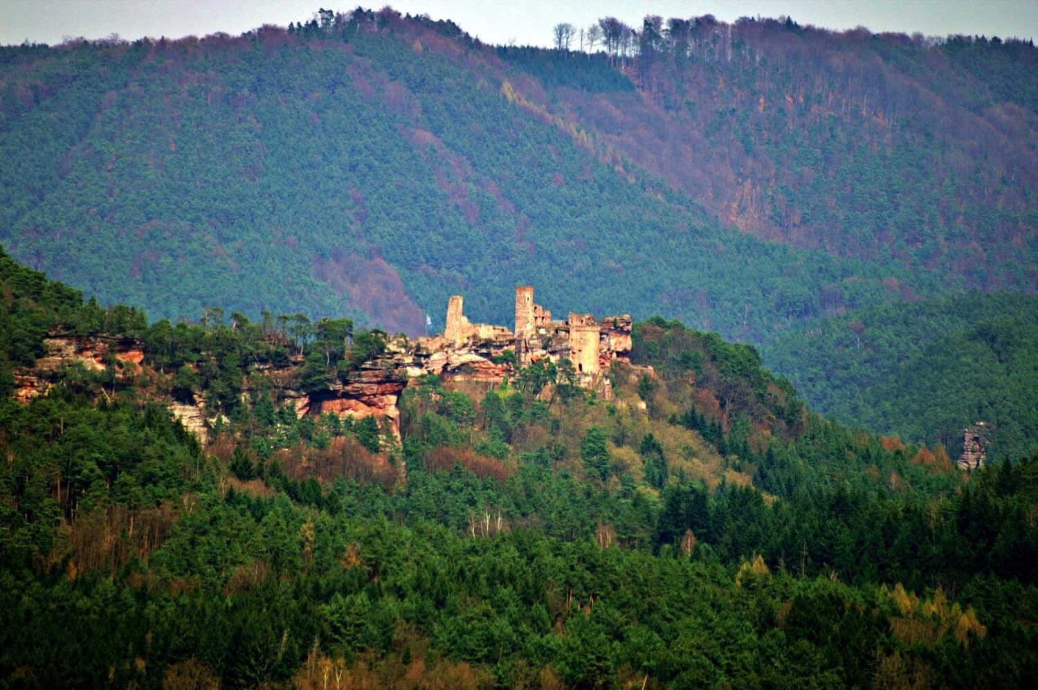
Altdahn Castle (German: Burg Altdahn) is a castle ruin in the Palatinate Forest, the German part of the Wasgau region. It is located near the town of Dahn in Rhineland-Palatinate, Germany. It stands 337 metres (1,106 ft) above sea level (NN).
History
Altdahn was probably built in the early 13th century. Certainly in 1236 the castle was being run by Frederick of Dahn as a vassal (Lehnsmann) of the Bishop of Speyer who, at that time, was Conrad IV of Dahn and may well have been a relative. The subsequent history of the castle is characterized by many wars and frequent destruction, that was, time and again, followed by rebuilding.
Altdahn was first destroyed in 1363 in the course of a feud between the Dahns and the Fleckensteins. In the end a squire took possession of the castle and carried out temporary repairs. In 1372 it was destroyed again and the squire driven out. In 1406 the castle was destroyed in the War of the Four Lords, which played out from 1405 to 1408 especially in the Bliesgau, 40 kilometres to the west. In 1426 and 1438 the castle caught fire without being caused by any military action.
After two centuries of relative prosperity Altdahn suffered further damage during the Thirty Years' War (1618–48). And right at the start of the War of the Palatine Succession the castle was finally destroyed in 1689 by French troops under General Mélac.
On 11 May 1820 a rockfall occurred, that caused the majority of the remaining ruins to collapse.
Mendelssohn, the composer and artist, visited the ruins on 5 August 1844 in order to paint them. The originals are in Oxford, but copies may be seen in the museum, as can a medieval silver spoon engraved with the coat of arms of the lords of Dahn.
Description
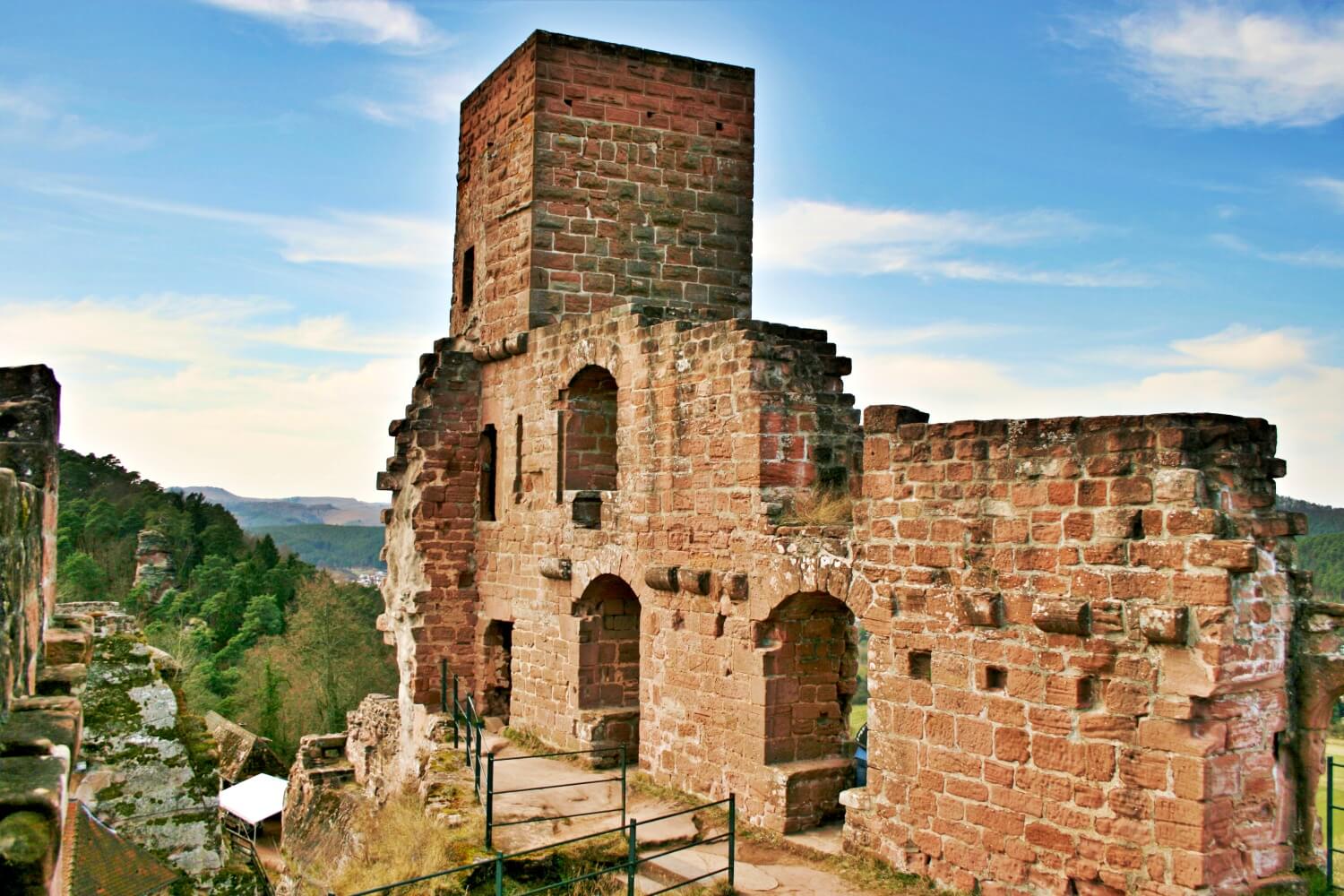
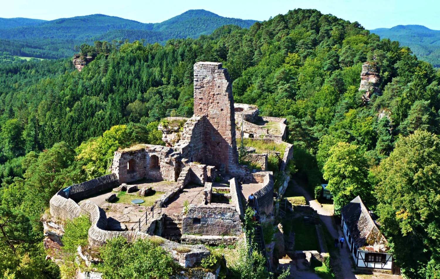
On the ridge of the Dahn castle group, which run roughly from east-northeast to west-southwest, Altdahn Castle occupies the two largest, easternmost rock outcrops, which have a total length of about 100 metres (330 ft). Its access is in the northeast, where the gateway and a small, water-filled neck ditch have survived. The lower ward is dominated on the north side by a horseshoe-shaped turret (Geschützturm) and, on the south side, by another tower of similar design.
Other notable remains of the upper ward on the western rock outcrop that have survived, include the north wall of the palas and a watchtower that, from the remains of an oriel, indicate that it may well have been used as a garderobe tower. The southern part of the palas was destroyed in the rockslide of 1820. This also opened the remains of a round cavern, in the rock in the shape of an inverted cone, that has been identified as a cistern or dungeon. On the remains of the eastern side, rusticated ashlar stonework is visible.
The isolated eastern castle rock is accessible over a narrow gangway. It used to support a small tower.
Die Burg Altdahn ist die Ruine einer mittelalterlichen Felsenburg und Bestandteil der Dahner Burgengruppe im südlichen Pfälzerwald, dem deutschen Teil des Wasgaus (Rheinland-Pfalz).
Geschichte
Bau, Nutzung und Zerstörung
Altdahn wurde vermutlich Anfang des 13. Jahrhunderts erbaut. 1236 verwaltete Friedrich von Dahn die Burg als Lehnsmann des Bischofs von Speyer, der damals Konrad von Dahn hieß und wohl sein Verwandter war. Die weitere Geschichte der Burg ist gekennzeichnet von vielen Kriegen und Zerstörungen, die immer wieder von Aufbauphasen abgelöst wurden.
Erstmals zerstört wurde Altdahn 1363 im Verlaufe einer Fehde der Herren von Dahn mit den Fleckensteinern. Im Anschluss daran bemächtigte sich ein junger Edelknecht der Burg und stellte sie notdürftig wieder her. 1372 wurde sie erneut zerstört und der Edelknecht vertrieben. 1406 erfolgten weitere Beschädigungen im Vierherrenkrieg, der von 1405 bis 1408 vor allem im 40 km westlich gelegenen Bliesgau ausgetragen wurde. 1426 und 1438 brannte die Burg jeweils ohne kriegerische Einwirkung ab. Die Familie der Herren von Dahn bevorzugte ab etwa 1570 ihr Schloss in Burrweiler als Residenz. Das Geschlecht erlosch 1603; spätestens seit diesem Jahr war Altdahn dem Verfall überlassen.
Endgültig unbrauchbar gemacht wurde die Burg durch französische Truppen möglicherweise schon 1680 oder aber zu Beginn des Pfälzischen Erbfolgekriegs 1689, als General Mélac das französische Heer anführte.
Am 11. Mai 1820 ereignete sich ein Felssturz, bei dem große Teile der verbliebenen Ruine einstürzten.
Neuere Geschichte
Felix Mendelssohn Bartholdy besuchte am 5. August 1844 die Burgruine, um Bilder von ihr zu malen. Sie sind im Burgmuseum ausgestellt, ebenso ein mittelalterlicher Silberlöffel mit dem Wappen der Herren von Dahn.
1877 wurden vom Dahner Verschönerungsverein unter der bayerischen Regierung erste Sanierungsarbeiten durchgeführt. 1936, in der Zeit des Nationalsozialismus, wurde die Restaurierung wieder aufgenommen. Nach der Unterbrechung durch den Zweiten Weltkrieg dauert sie seit dem Jahr 1960 bis in die heutige Zeit an.
2007 wurden an einem 1100 Tonnen schweren Sandsteinblock auf der Burg Risse festgestellt. Sollte dieser zerbrechen, könnte ein Drittel der Burg zerstört werden. Geologen brachten Sensoren an dem Stein an, um die weitere Entwicklung zu beobachten. Mit Widerlagern am Boden könnte der Felsen gesichert werden; diese Maßnahme wäre jedoch sehr teuer und aufwendig. Nachdem die Sensoren keine Veränderungen am Felsen verzeichnet hatten, gaben die Fachleute im Juni 2008 Entwarnung. Die elektronischen Sensoren wurden abgebaut und durch sogenannte „Felsspione“ ersetzt, die visuell ablesbar sind; damit sollte der Felsen zwei weitere Jahre genau beobachtet werden.
Useful information
Gratis
Gratis
- Informationstafeln
- Schöne Aussicht
Ruinen der Burg
-
Nearby castles
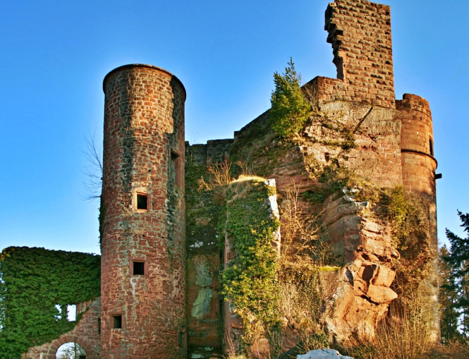
Neudahn Castle
Südwestpfalz
3.6km
castle, chateau
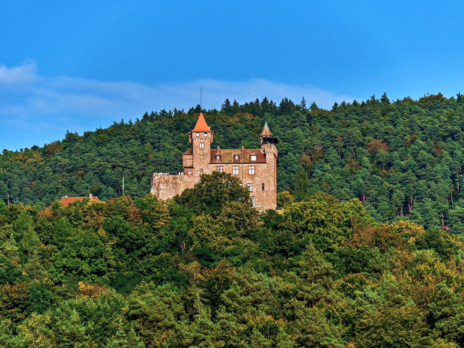
Berwartstein Castle
Südwestpfalz
6.4km
castle, chateau
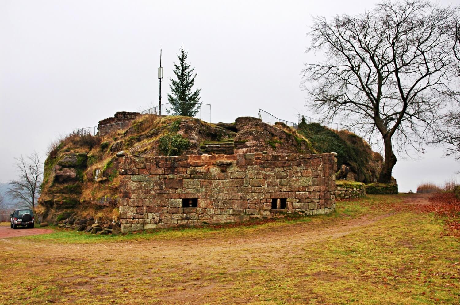
Lemberg Castle
Südwestpfalz
10.6km
castle, chateau

Burg Grafenstein
Südwestpfalz
10.6km
castle, chateau
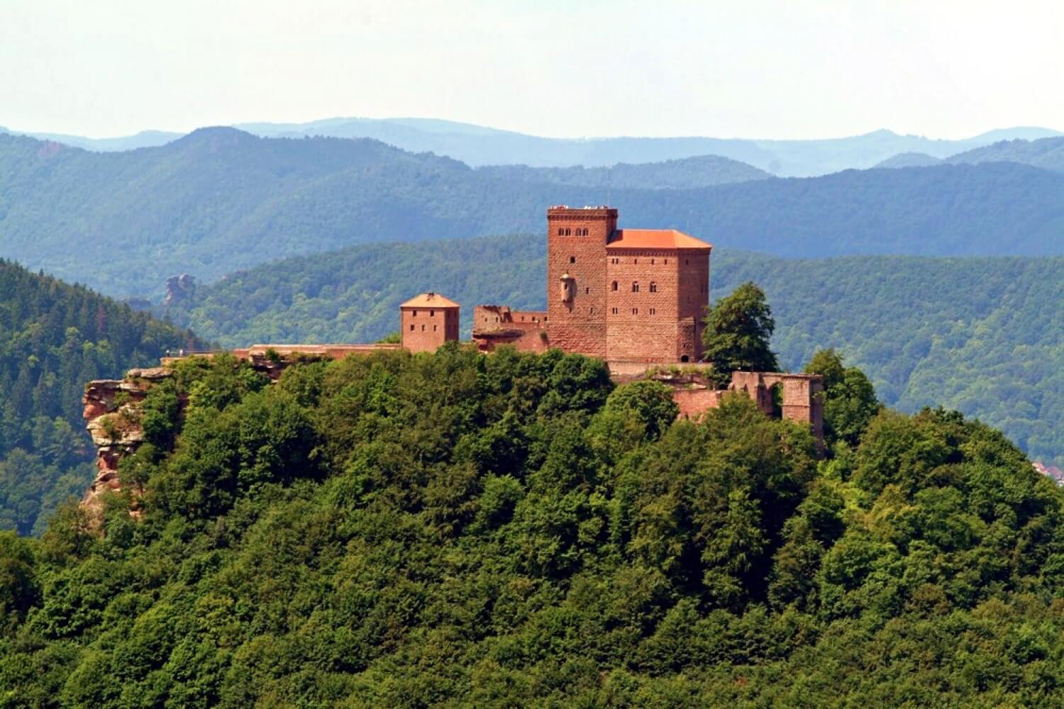
Trifels Castle
Südliche Weinstraße
13.8km
castle, chateau
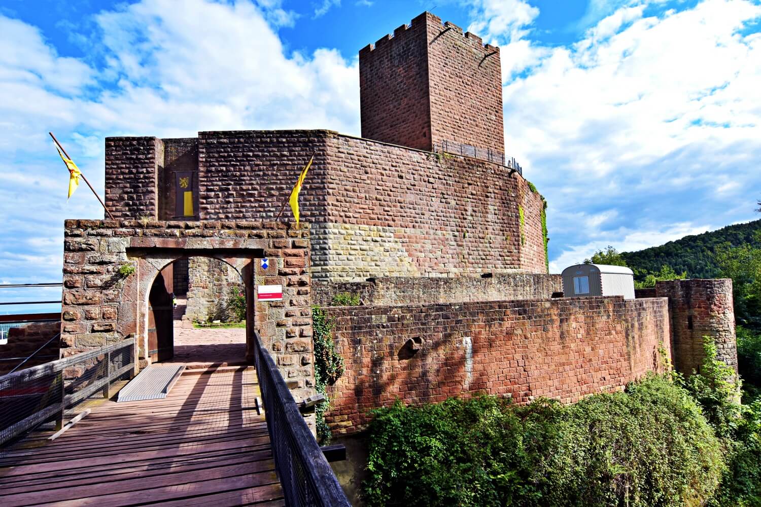
Burg Landeck
Südliche Weinstraße
14.9km
castle, chateau
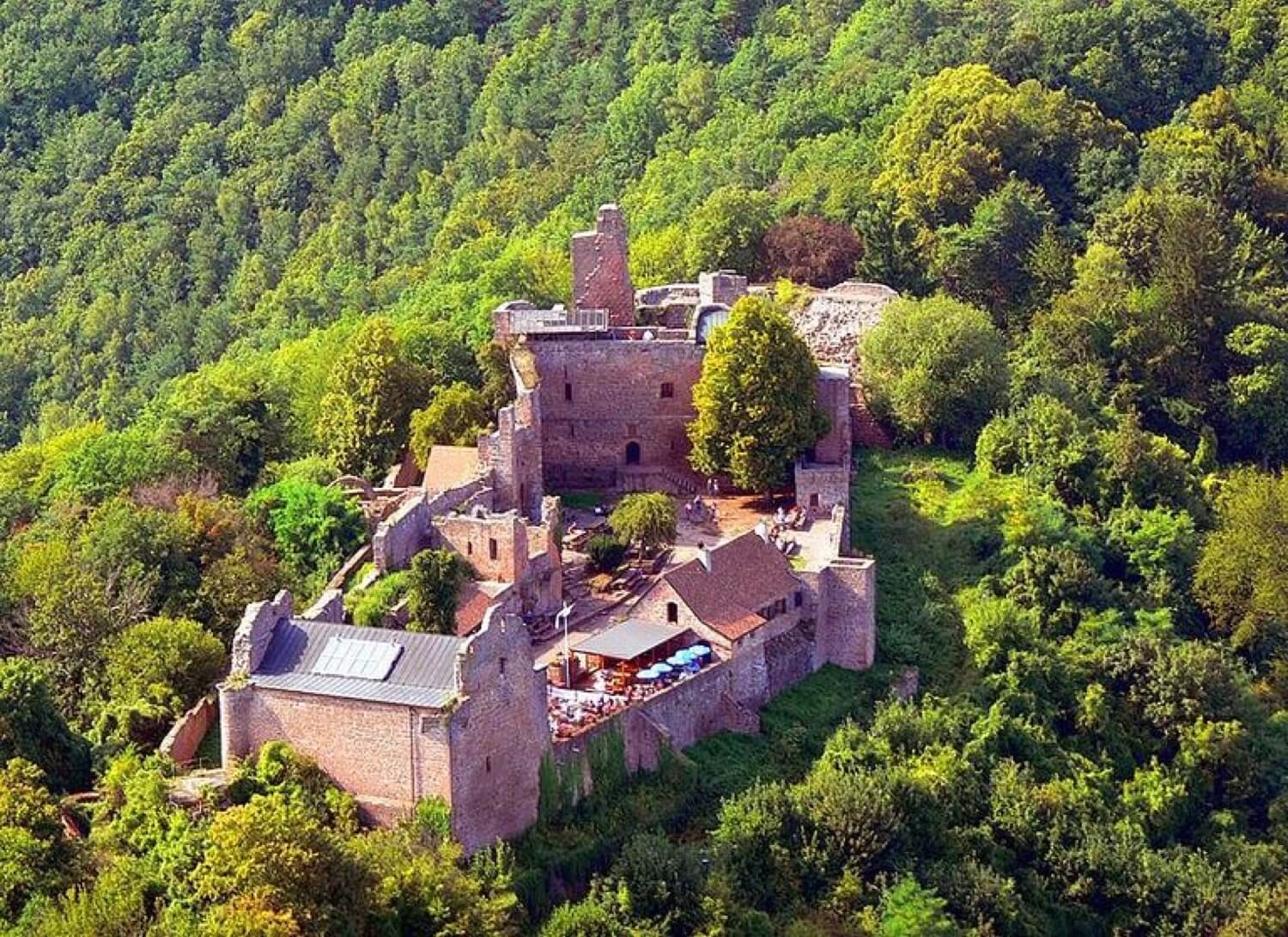
Madenburg Castle
Südliche Weinstraße
15.1km
castle, chateau
